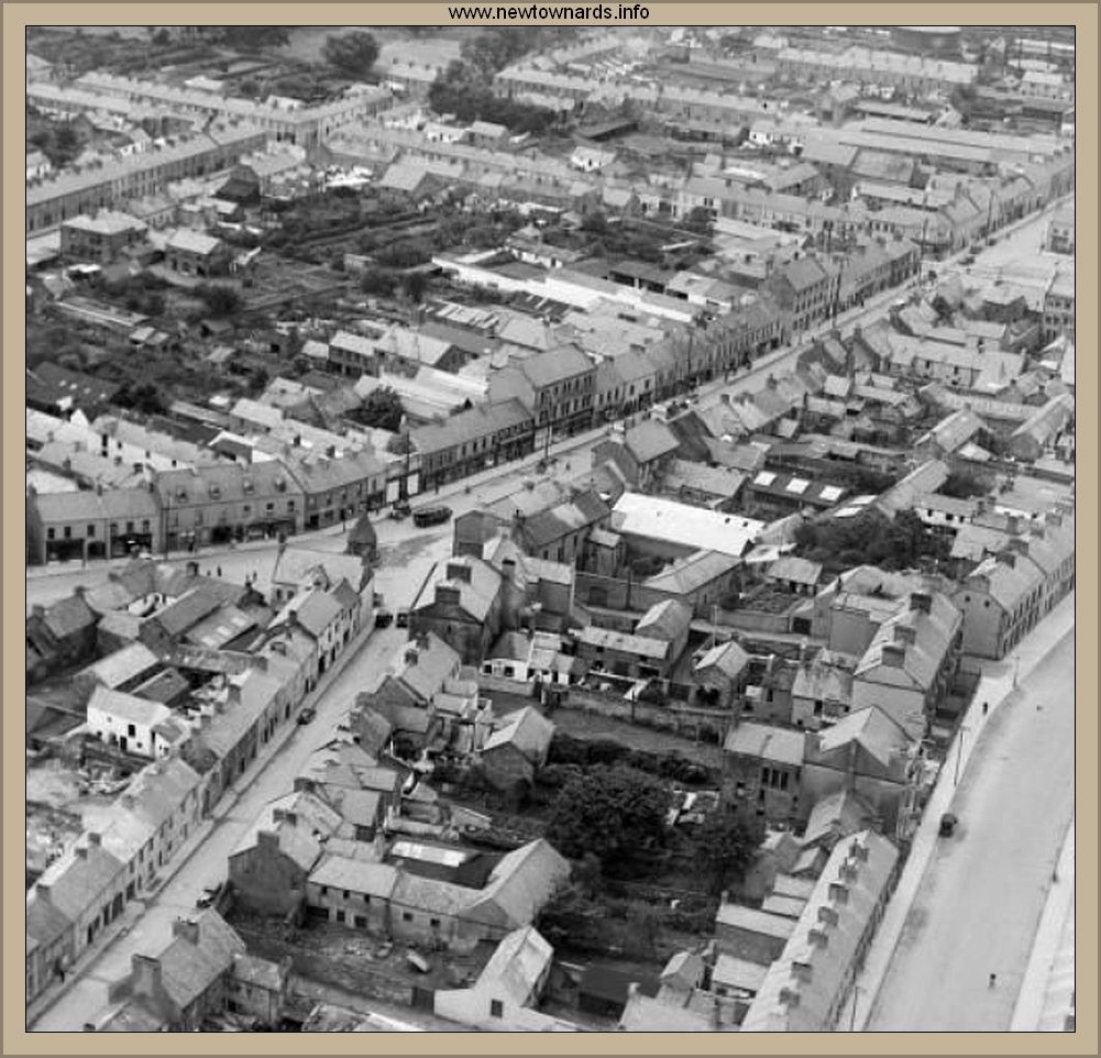
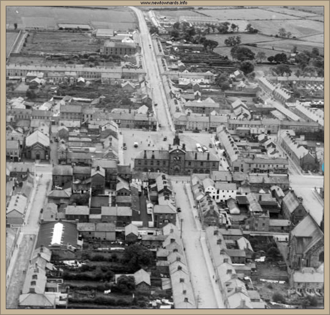
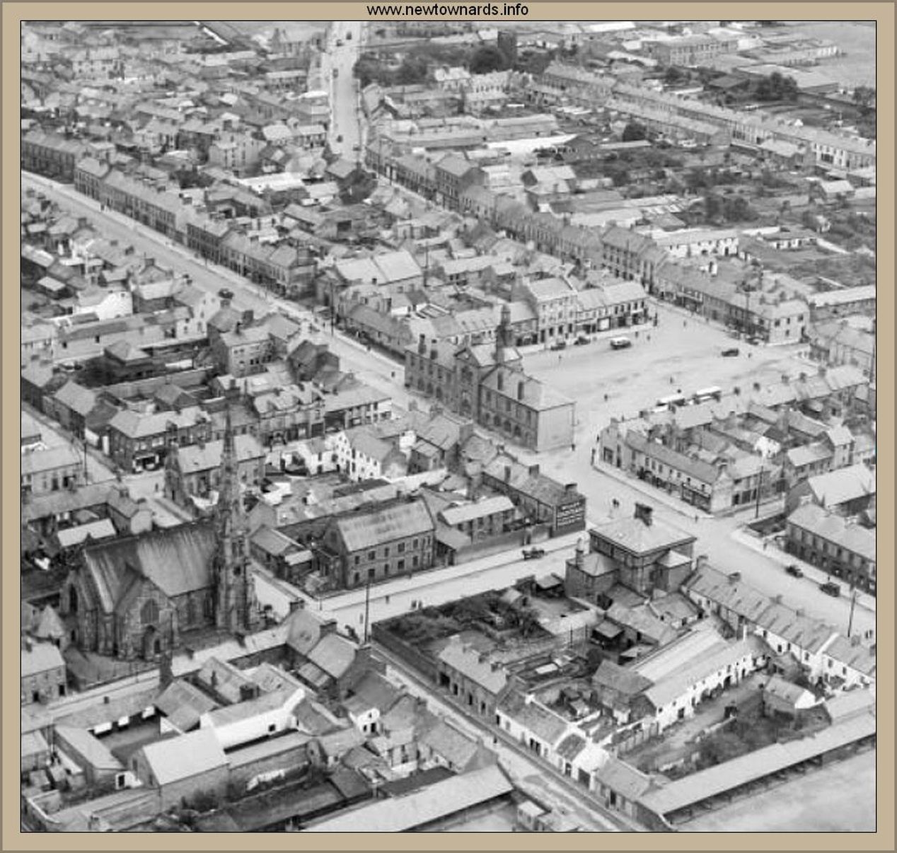
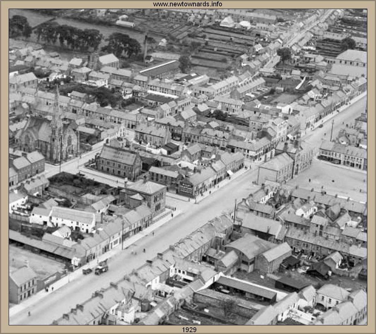
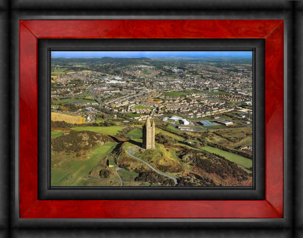
Maps and Aerial Images Maps and Aerial Images Menu etc. - Click on menu to select 1720 1841 Map of Newtownards c1860 Urban 1901 Map of the Town Guide map of 1901 NW area 1924 Very Large Map Early Map - Donated by James Meredith Ariel pic supplied by Stuart McClean Aerial pic of area around Court Square Aerial pic around Corry St. Supplied by Jim McMeekan Jnr. Interactive Historic Townlands Static Map Maplandia - Current Interactive 1960s excellent Aerial pic 2010 Aerial Image of the Scrabo Area Scrabo and Wards west and south ..